- E-mail:yattravelnz@gmail.com
- Tel:+64 2102855813
- HOME
-
DESTINATIONS
- | Christchurch
- | Queenstown
- | Mt.Cook National Park
- | Milford Fjord
- | Wanaka
- | Fox Glacier
- | Auckland
- | Waitomo Cave
- | Rotorua
- | Taopo Lake
- | Abel Tasman National Park
- | Nelson Lake National Park
- | Golden Bay
- | Tongariro National Park
- | Marlborough Sounds
- | Stewart Island
- | Dunedin-Taieri Gorge Railway
- | Akaroa
- | whanganui-journey
- | TranzAlpine Train
- TOURS
- ABOUT
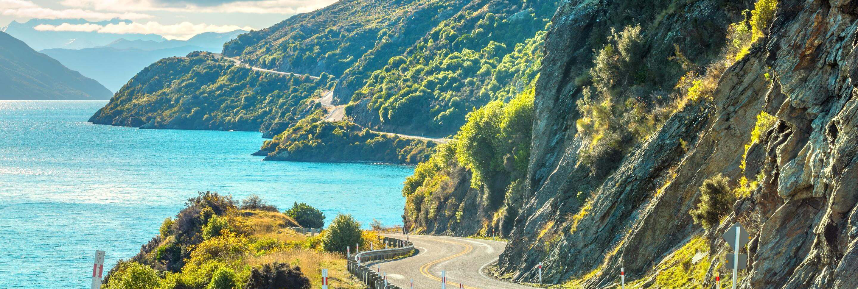
Taopo Lake
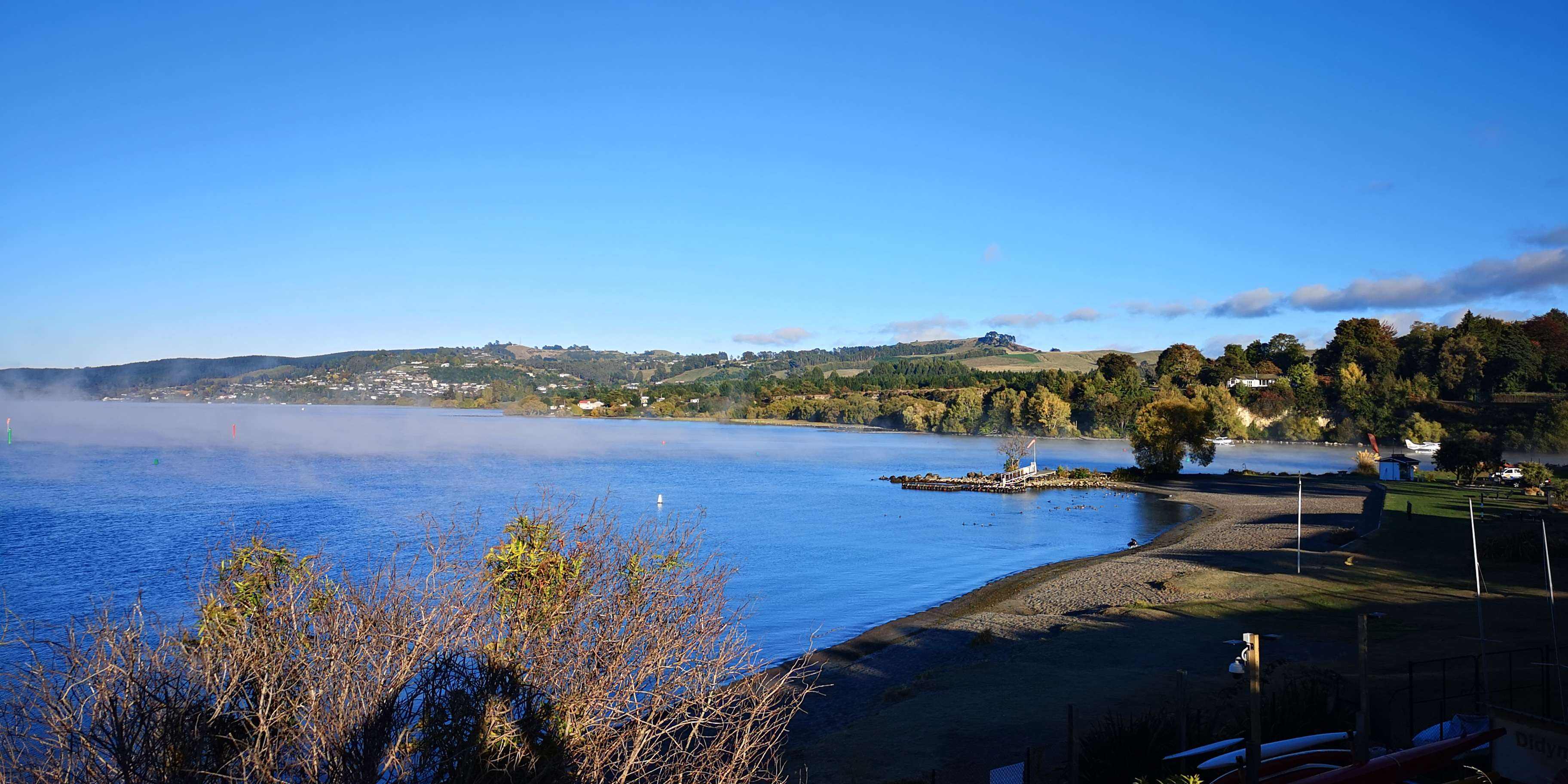
Taopo Lake is located on a crater, formed in a super volcanic eruption about 26500 years ago. According to geological data, this volcano erupted 28 times in 27000 years. The volcanic eruption that was originally formed 26500 years ago is also known as the North Island eruption. It is the largest known volcanic eruption in the world in the past 70000 years, emitting 1170 cubic kilometers of material. Volcanic eruption caused the collapse of hundreds of square kilometers of land nearby and formed a crater. Later, the crater was filled with water and eventually overflowed to form a huge erosion water flow. The lake covers an area of 616 square kilometers, almost as large as Singapore. The pumice sand beach beside the lake has a style of inland sea.